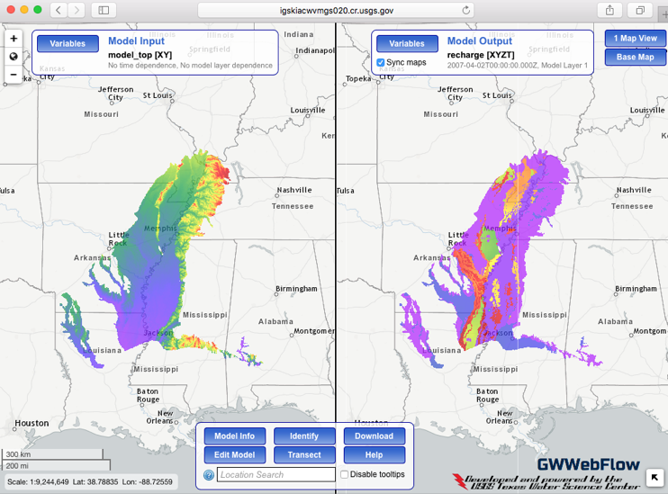
Mississippi Alluvial Plain (MAP) Regional Water Availability Study
Management and Environmental Support System
Traditional numerical groundwater modeling can be considered a one-time process: the model input datasets are constructed for a specific, static time period, the model is subjected to calibration (also known as history matching), the entire modeling process is documented in publications and the analysis is deemed complete. From a decision support standpoint, this is a poor use of resources; the return-on-investment for constructing the model is diminishes quickly as the model datasets become outdated. Since the model was constructed to simulate a fixed period of time, the ability to use the model as a decision-support tool quickly fades.

An alternative, and more attractive approach to numerical groundwater modeling, is to develop a "recursive" or "sequential" modeling process, where model data sets are systematically updated at prescribed intervals so that the model is kept current with respect to aquifer conditions. This approach to simulation is used extensively in numerical weather prediction and petroleum reservoir simulation and yields a decision support tool that remains current and applicable. To date, a modeling analysis of this type has only been undertaken using simple, test models as proof of concept, it has not been applied to a real-world, decision-support type of groundwater model. A sequential modeling process is envisioned for the MAP with the goal of continuous use and improvement of a modeling system that can help with decision support and be updated as new data are available. This time of system would be a key part of a adaptive management approach for the MAP where alternatives are evaluated and system response monitored to help guide future decisions.
Reference:
Clark, B.R., Westerman, D.A., and Fugitt, D.T., 2013, Enhancements to the Mississippi Embayment Regional Aquifer Study (MERAS) groundwater-flow model and simulations of sustainable water-level scenarios: U.S. Geological Survey Scientific Investigations Report 2013–5161, 29 p., http://pubs.usgs.gov/sir/2013/5161/.

