
Mississippi Embayment Aquifer System Regional Groundwater Availability Study
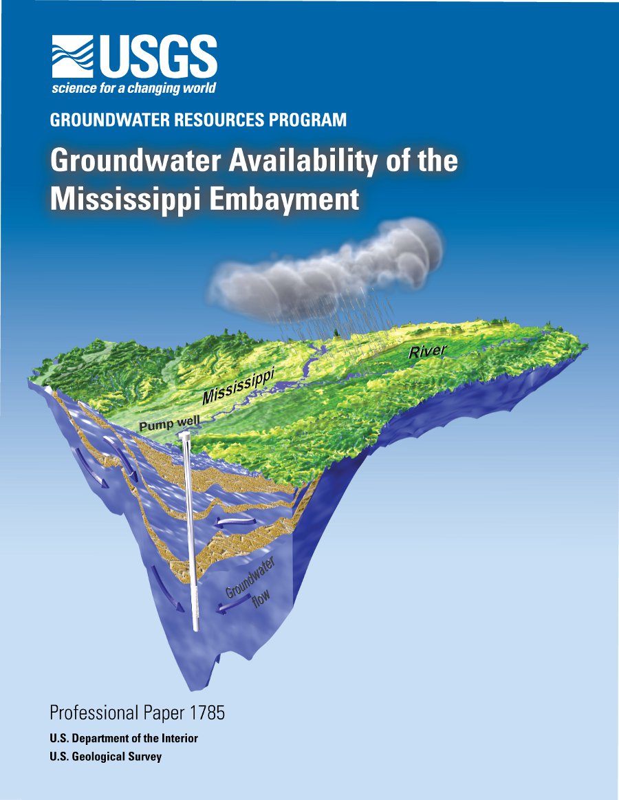 The US Geological Survey (USGS) is conducting
large scale multidisciplinary regional studies of groundwater availability for the Nation.
Studies comprise individual assessments, like the Mississippi embayment, of regional groundwater
flow systems that cover a variety of hydrogeologic terrains and are used to develop a
comprehensive regional and national perspective. Collectively, these individual studies are the
foundation for the national assessment of groundwater availability. Availability studies are
conducted in cooperation with other Federal, State, and local governments and the private sector,
involved computer-based groundwater flow models to document effects of human activities and
climate variability on groundwater levels, depletion, storage, and interaction with surface water.
The US Geological Survey (USGS) is conducting
large scale multidisciplinary regional studies of groundwater availability for the Nation.
Studies comprise individual assessments, like the Mississippi embayment, of regional groundwater
flow systems that cover a variety of hydrogeologic terrains and are used to develop a
comprehensive regional and national perspective. Collectively, these individual studies are the
foundation for the national assessment of groundwater availability. Availability studies are
conducted in cooperation with other Federal, State, and local governments and the private sector,
involved computer-based groundwater flow models to document effects of human activities and
climate variability on groundwater levels, depletion, storage, and interaction with surface water.