
Mississippi Embayment Aquifer System Regional Groundwater Availability Study
What is Meras?
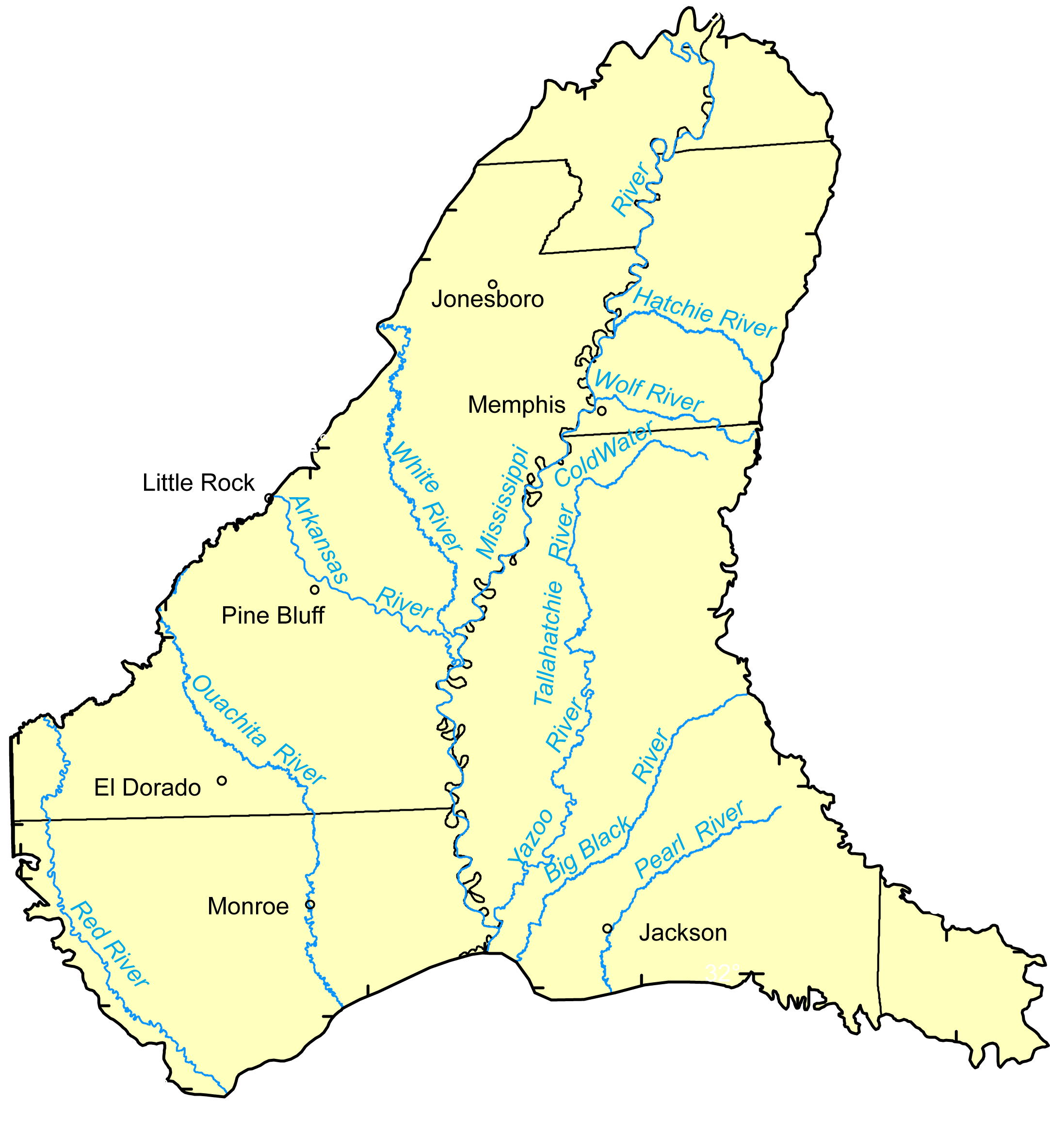 The Mississippi embayment study area encompasses approximately 78,000 mi2 in eight States and includes large parts of Arkansas, Louisiana, Mississippi, and Tennessee, and smaller areas of Alabama, Illinois, Kentucky, and Missouri. Irrigated land accounts for approximately 45 percent of the study area, forested land 38 percent, water 14 percent, and urban land 3 percent of the total area. Irrigated land is used primarily for soybean, cotton, and rice production, and some corn and wheat. Climate within the Mississippi embayment ranges from humid, temperate in the northern portion to humid, subtropical in the southern portion. Precipitation is usually greatest in the southern part receiving 56 inches per year and the northern part receiving 48 inches per year. Total population estimates for 2005 was 5.2 million with about 56% rural residents and 44% urban. Largest cities include Memphis, Tennessee; Jackson, Mississippi; Little Rock, Jonesboro, Pine Bluff, and El Dorado, Arkansas; and Monroe, Louisiana.