CLAS Regional Groundwater Availability Study
Map
USGS is undertaking a 5-year study to assess groundwater availability for the aquifers proximal to the Gulf of Mexico from the Texas-Mexico border through the panhandle of Florida, known as the Coastal Lowlands Aquifer System (CLAS). This study is one of several within the Regional Groundwater Availability Studies of the USGS Water Availability and Use Science Program. Groundwater from this aquifer system is used mainly for municipal, agricultural, and industrial supply. Land subsidence related to groundwater pumping is of concern within this study area; therefore, subsidence will be a main focus of this investigation. The study will focus on quantifying the status of groundwater availability and the trends of availability within the CLAS. Impacts from both climatic and anthropogenic changes to the hydrology will be assessed through use of a numerical model designed within an uncertainty analysis framework. This project will culminate with useful tools, publications, and data summarizing estimates, captured within an uncertainty framework, of past, current and future groundwater availability within the CLAS.
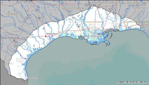
Click on map for larger image
Map of the CLAS study area

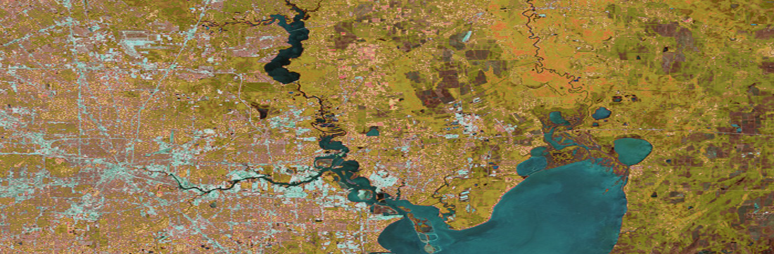
Abstract view of Houston, TX.