Ozark Plateaus Groundwater Availability Study Groundwater / Surface Water
How do groundwater and surface water interact?
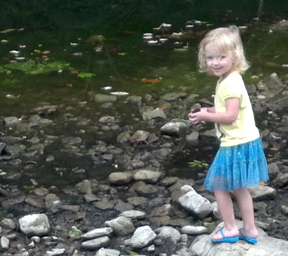
Ever walk along a trail beside a tributary of the Buffalo River? If so, you may have been accompanied by the soothing sound of bubbling water in the nearby stream. As you kept walking, the sound stopped. Walking further, the sounds picked up again...
This experience is not uncommon in the Ozarks. A summary of studies in the Eleven Point and Current River Basins noted water from several springs flowed short distances before disappearing into the subsurface, where fractured, karst rock allow water to flow beneath the surface in sometimes unexpected paths.
For example, within the Ozark National Scenic Riverways, over 300 caves exist. Similar conditions exist along the Buffalo River. Each cave, sinkhole, and fracture serves as a potential conduit for water to flow to or from the groundwater system.
The Ozarks are also home to many reservoirs and lakes.
Many of these surface water bodies provide drinking water to hundreds of thousands of people in the area, such as Beaver Water District. Because there is such a connection between Ozark streams and the groundwater system, there is reason to believe that the same or greater connection exists between reservoirs and the groundwater system, though quantifying this connection is a challenging task in a geologically complex environment.